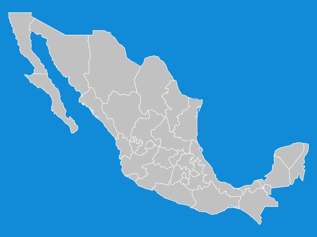

Geography vector illustration of a map of the United Mexican States. The map is all grey and the borders between the different states are white. The map has a detailed coastline with clearly visible gulfs and peninsulas. This free vector map is perfect for your Mexico tourism and travel graphics.