Reset My password
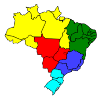
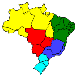
A map of Brazil with state lines drawn and different regions (North, Northeast, Center-West, Southeast, and South) colored. Drawn in Inkscape based on a Brazilian government (IBGE) work.